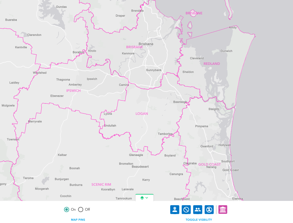
Many utilities work across multiple local government areas. To assist in visualising the collaboration opportunities between the utility and local governments you may wish to view the Local Government Boundaries on the map.
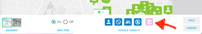
To turn on the boundary layer open the Map Preferences toolbar and click on the Local Government Boundaries visibility toggle.
When the local government boundaries are turned on they will appear on the map as a boundary and a label. (When zoomed and viewing a large area you may find that the labels and boundaries become too much – use the toggle to turn off).
– Introduced at V1.1